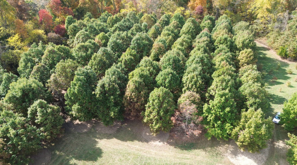
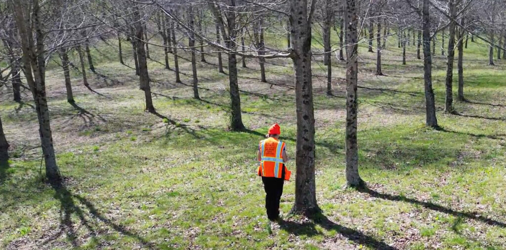
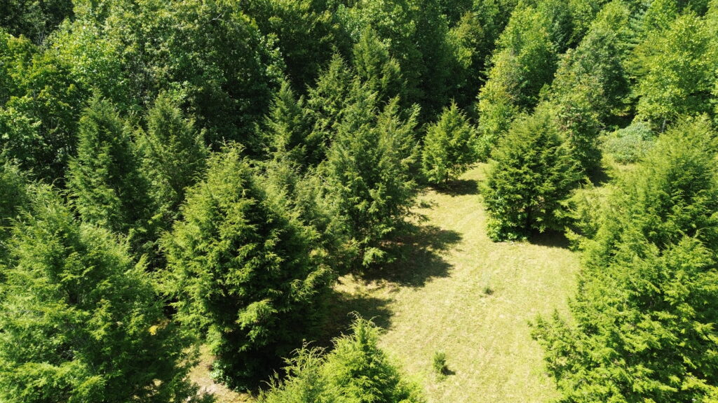
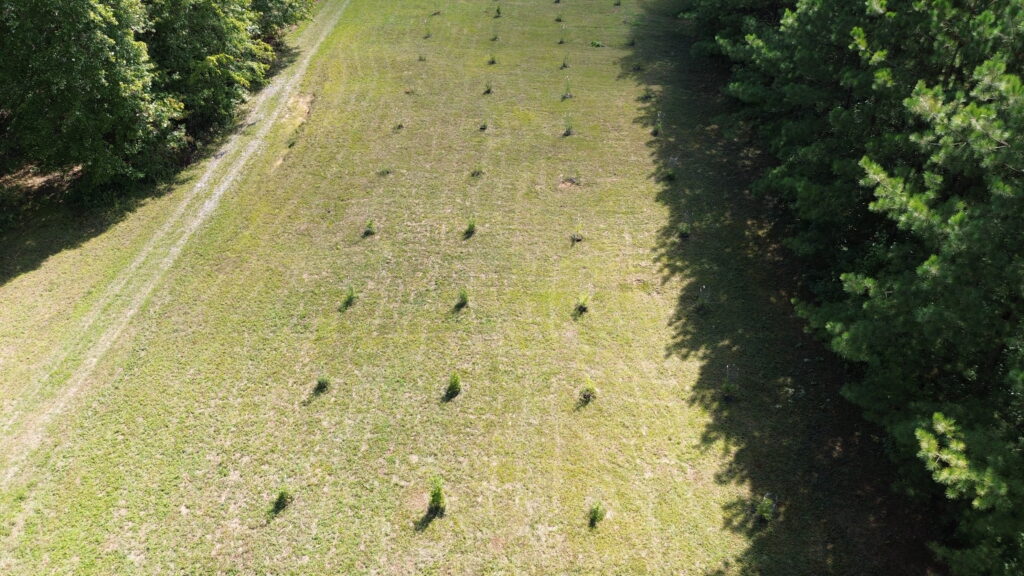
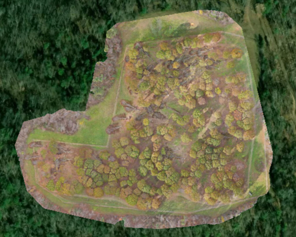
The UT Tree Improvement Drone Program combines innovation and conservation. By using drones to capture detailed aerial images, we can quickly and safely monitor orchards, measure tree growth, and track seed production. Our drones helps us to survey and care for our orchards more efficiently ensuring the seed productivity needed for Tennessee urban, private lands, and forest restoration. Integrating cutting-edge remote sensing technology with decades of tree genetics expertise improves orchard management and accelerates the development of superior seed sources for reforestation.
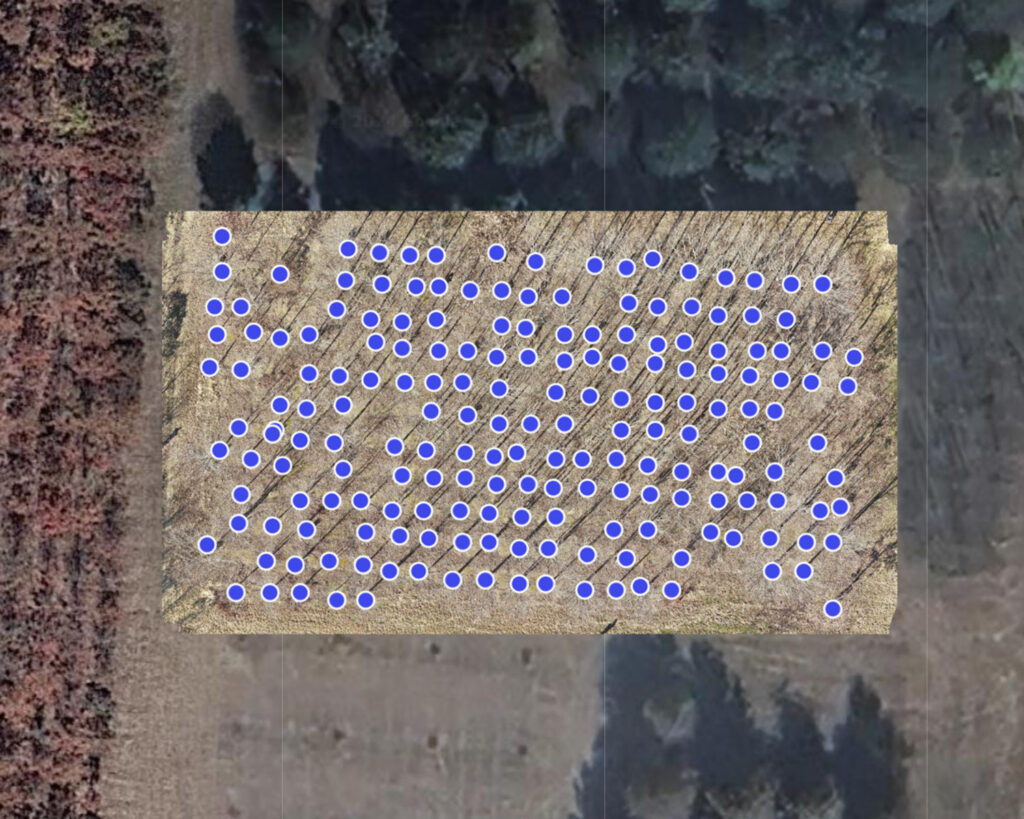
We create high altitude maps to view overall orchard health and also waypoint maps that map each tree for seed surveys, thinning, or health monitoring.